Historical Sketch
This town was formerly part of Cummington, and with that town was sold by Col. John Cummings, of Concord, in 1762. The first meeting of the proprietors was held at Concord, in December of that year. Many of the first settlers came from Bridgewater and Abington. Plainfield was incorporated a district of Cummington in 1785, and in 1807 was incorporated a distinct town.
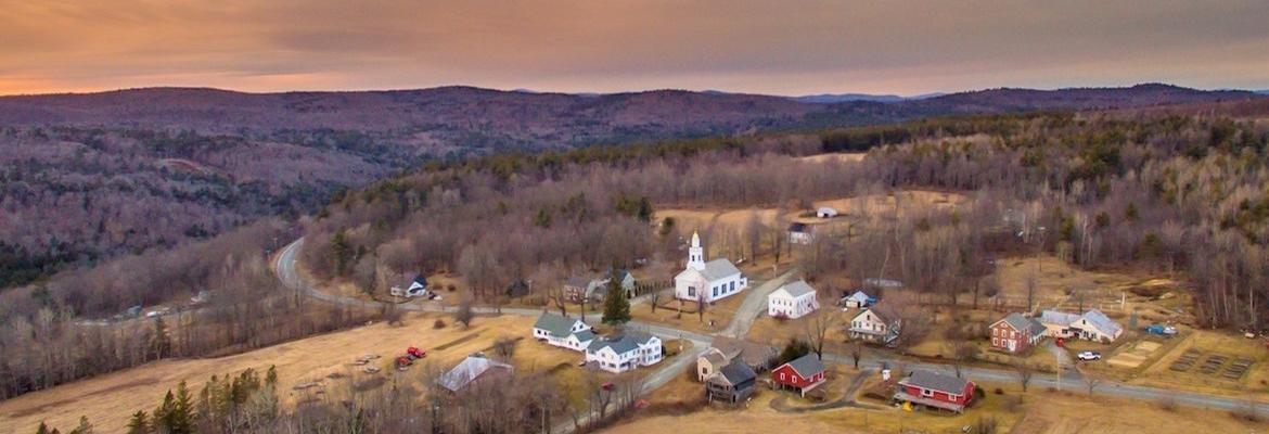
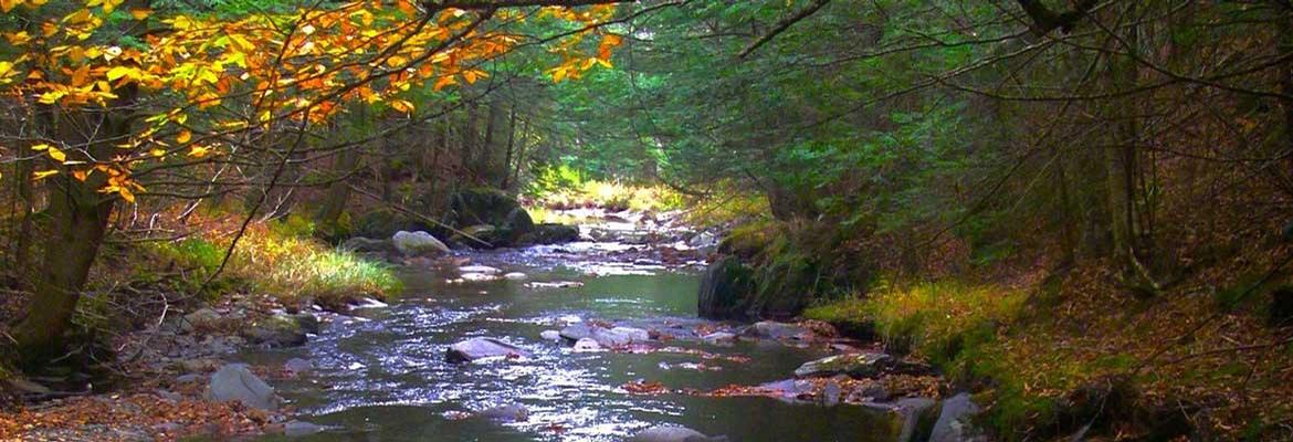
This township lies on the eastern side of the Green mountain range, and, as might be expected, the surface is undulating, and in many parts rough and broken, less so, however, than that of the adjoining towns. Indeed, the summit of East Hill, on which is the principal village, may be considered as level through nearly the whole breadth of the town. The soil is good and strong, and well adapted for grass. The township is exceedingly well supplied with springs and rivulets. There are no large streams in the town. Mill Brook is the largest.
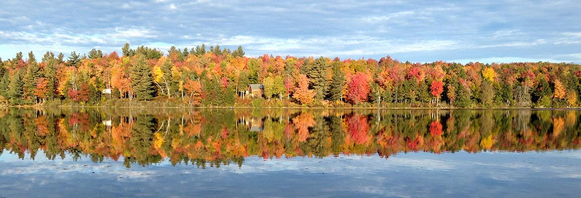
The waters of the North Pond empty into the Deerfield river at Charlemont, while those of the Crooked Pond empty into the South Pond in Windsor, which is the head of one of the branches of Westfield river. The North Pond is dotted with islands, and is a favorite place of resort for anglers and parties of pleasure; and both have peculiar attractions to the botanist, as some very rare and interesting aquatic plants are found on the shores and in the water.

